Redwood Shores
To secure a sustainable and resilient future, Redwood Shores plans to enhance its levees by developing a preferred alternative for levee improvement. This may involve new levee construction along the Belmont Slough, as detailed in two proposed alignments. The city will conduct thorough data collection, including coastal hazard analyses, hydrologic and hydraulic studies, geotechnical investigations, and environmental documentation, to support the levee design and construction.
Redwood Shores will address sea-level rise, stormwater management, and groundwater rise through integrated planning and engineering solutions. Local efforts will align with the Regional Shoreline Adaptation Plan being developed by the San Francisco Bay Conservation and Development Commission. The city will collaborate with developers of large projects, such as the Redwood LIFE campus, to incorporate climate resilience measures from the outset. Funding contributions from private developers will also be encouraged for infrastructure improvements, including levees.
Redwood Shores will host additional forums and provide updates on critical projects, including environmental and transportation impact assessments. The city aims to create transparency and public participation to ensure alignment between development goals and community priorities.
Redwood Shores will also continue to work with FEMA, OneShoreline, and other stakeholders to secure funding and technical support for flood risk reduction. Infrastructure investments will prioritize both immediate flood protection and long-term adaptation to sea-level rise. By proactively addressing these challenges and leveraging partnerships, Redwood Shores aims to protect its residents, businesses, and critical assets while preparing for a changing climate.


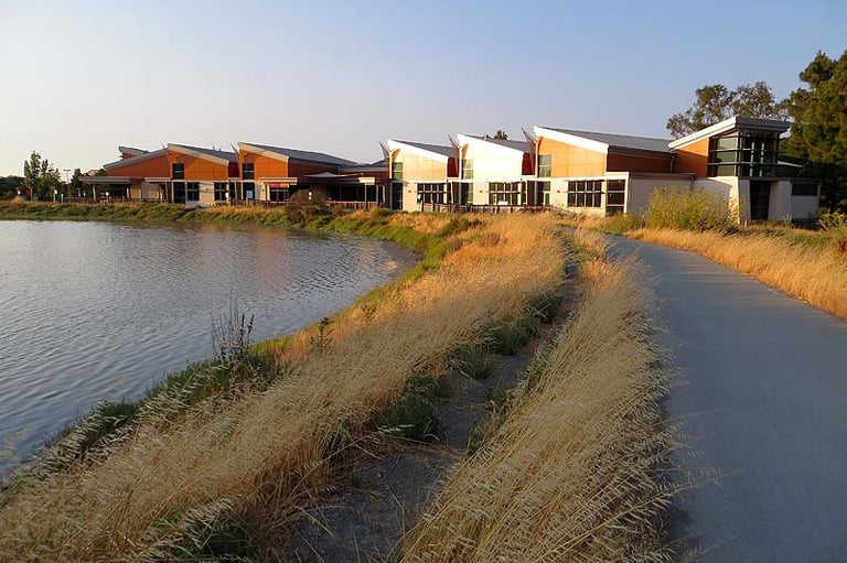
Redwood Shores has a long history of managing its unique geographical challenges, given its location on former marshlands and its vulnerability to flooding and sea-level rise. In 2010, Redwood City and its partners raised the height of over three miles of levees to meet FEMA standards, ensuring compliance with flood protection requirements. The current levee system combines flood protection levees, setback levees, and high ground to mitigate flooding risks.
Recognizing the increasing risks posed by climate change, Redwood Shores has conducted vulnerability assessments, including the 2018 San Mateo County Sea Level Rise Vulnerability Assessment, which highlighted significant risks of inundation during extreme events. The city has organized informational forums to educate residents on shoreline conditions, regulatory frameworks, and climate adaptation efforts. Redwood Shores has also partnered with OneShoreline and other regional and state agencies to address climate resilience collectively. These partnerships aim to align development projects with sea-level rise mitigation strategies.
In 2020, Redwood City received notice from FEMA regarding levee accreditation. Since then, the city has worked to avoid the designation of Redwood Shores as a Special Flood Hazard Area (SFHA) and has secured federal support under the Hazard Mitigation Grant Program to plan levee improvements.
What has Redwood Shores done?
What should/will Redwood Shores do?


